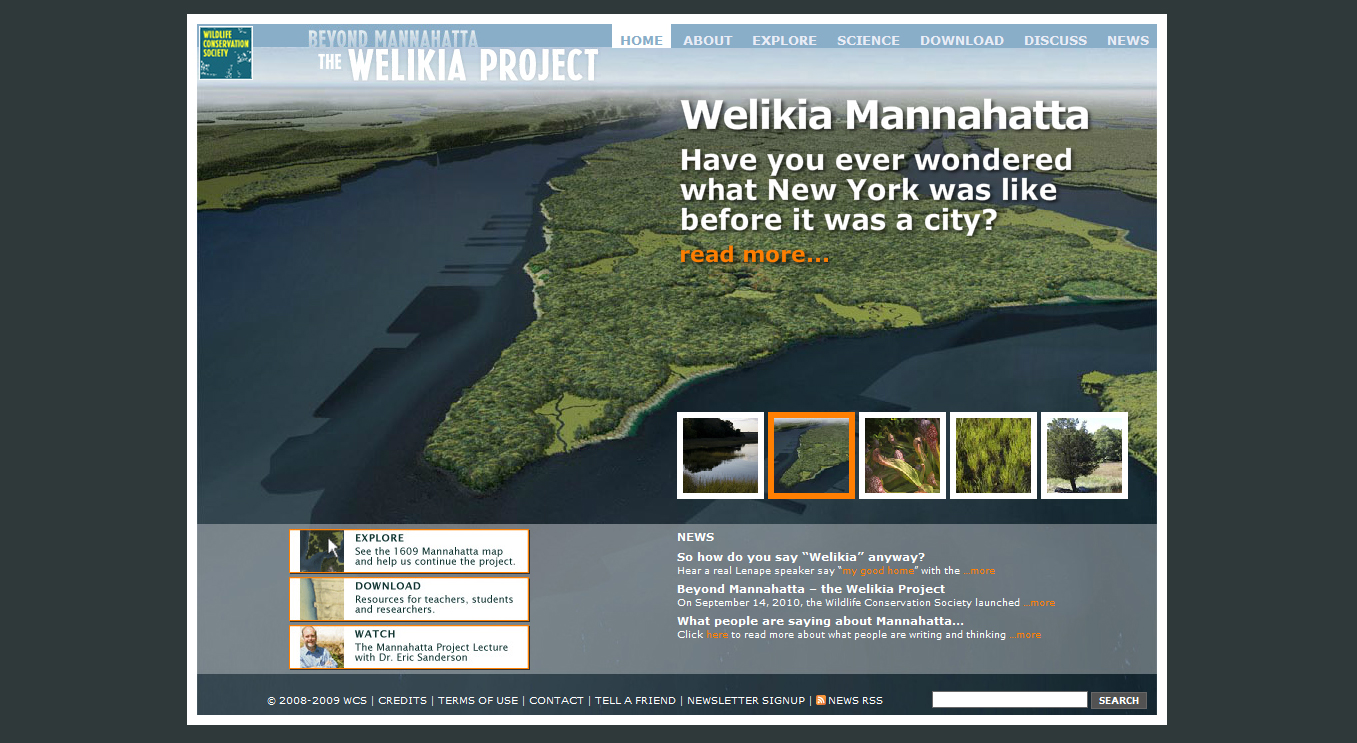
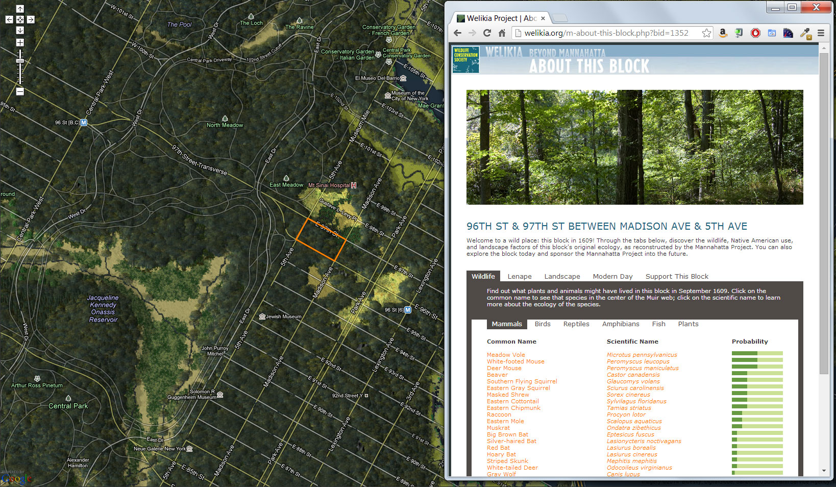
Mannahatta
Performed spatial analysis of species distributions and disturbance modeling, and, in collaboration with Phillip Pond, developed website and created interactive map application visualizing Manhattan as it likely appeared four hundred years ago, showing probable species and landscape features for each block in pre-development Manhattan.
![]()